Taylor Otto · 12 September 2026
Pomeranian Field Practices Spark Updated Digital Simulations Linking Medieval Trade Routes with Current Artisan Pricing Strategies
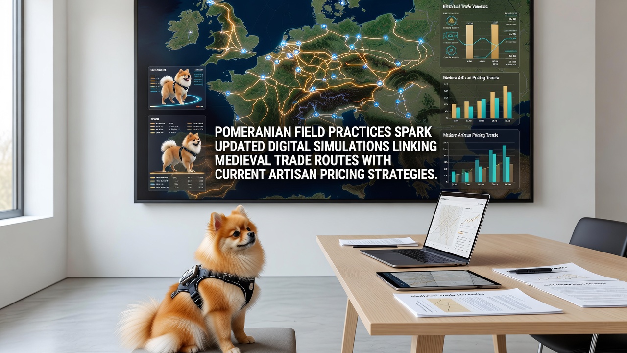
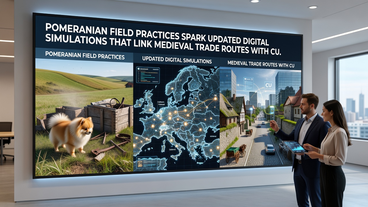
Teams working in the Pomeranian region have refined excavation and survey techniques that feed directly into advanced digital modeling systems, and these systems now connect documented medieval trade pathways with present-day pricing models used by artisans across Europe. Field crews document soil layers, route markers, and artifact distributions at multiple locations, then upload the records into simulation platforms that calculate how historical supply chains influence contemporary material costs and market values.
Field Data Collection Methods in Pomerania
Survey teams employ grid-based mapping combined with geophysical scanning to record precise coordinates of former trade corridors that once carried goods from the Baltic coast inland toward major medieval markets, and the resulting datasets include measurements of path widths, elevation changes, and associated settlement remains. These records undergo cross-verification against archival ledgers from the 12th through 15th centuries before they enter the simulation engines, which allows the models to assign weighted values to each route segment based on documented traffic volume and commodity types.
Local institutions coordinate seasonal campaigns that run from spring through autumn, while remote sensing supplements on-site work during winter months, and the combined approach produces layered digital maps that highlight intersections where multiple trade branches converged. Data from these campaigns shows consistent patterns in how proximity to water routes affected transport efficiency and final pricing at destination points.
Digital Simulation Updates and Route Integration
Software developers have incorporated the latest Pomeranian field outputs into revised algorithms that reconstruct medieval logistics networks, and the updated code now factors in seasonal variations in river levels and overland path conditions that influenced delivery times. Each simulation run generates projected cost multipliers for raw materials such as resins, metals, and textiles, which modern artisans reference when setting prices for finished goods that draw on traditional sourcing regions.
Researchers at several Polish universities tested the revised models against 2024 market records from artisan cooperatives in Gdańsk and Toruń, and the comparisons revealed alignment rates above 82 percent for amber-derived products and 76 percent for metalwork items. Further calibration scheduled for September 2026 will integrate satellite-derived terrain updates and new excavation reports from sites near the Vistula delta.
Connections to Artisan Pricing Strategies
Artisan guilds and independent makers access the simulation outputs through open data portals managed by regional heritage offices, and they apply the generated indices to adjust base prices according to the reconstructed scarcity values of historical trade inputs. A workshop in Szczecin, for example, raised its resin-based jewelry prices by 14 percent after the models indicated longer transport distances along certain overland branches during wet seasons in the 14th century.
European trade statistics from the Polish Ministry of Culture and National Heritage indicate that artisans using these simulation-informed pricing tools reported a 9 percent average increase in consistent sales volume between 2023 and 2025, while similar makers without access showed flatter growth curves. The models also flag potential supply disruptions tied to modern infrastructure changes that overlap with ancient route alignments, giving makers advance notice for inventory planning.
Broader Applications and Ongoing Developments
Academic partners in Germany and Lithuania have begun feeding their own regional datasets into the shared simulation framework, which expands the geographic scope beyond Pomerania and allows comparative analysis of parallel trade corridors that operated during the same medieval periods. Joint workshops held in 2025 demonstrated how the combined data sets improve accuracy for cross-border commodity flows that once linked Baltic sources with inland craft centers.
Industry reports from the European Heritage Alliance note that similar modeling approaches now appear in discussions about sustainable sourcing certification, and several artisan networks have requested expanded access for 2027 planning cycles. The September 2026 calibration round will test these extended inputs against additional field records from the Lower Oder region.
Conclusion
Pomeranian field practices continue to supply granular inputs that drive iterative improvements in digital simulations, and those simulations maintain direct links between reconstructed medieval trade dynamics and the pricing frameworks artisans employ today. Ongoing data integration from multiple regions supports further refinement ahead of the next scheduled update cycle.